
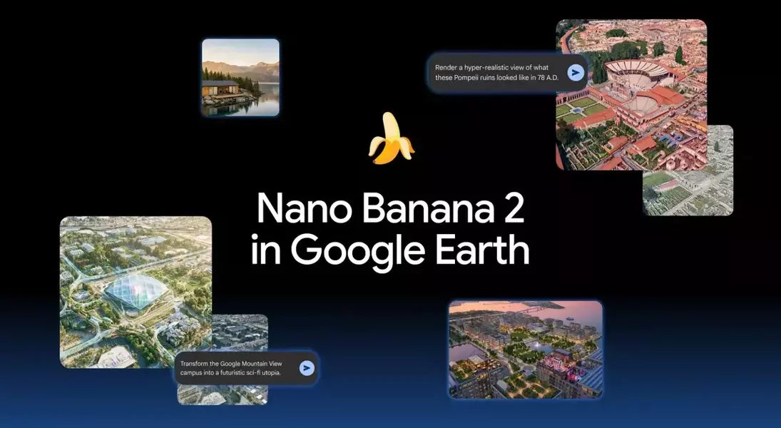
Google has recently integrated its generative artificial intelligence image creation tool, Nano Banana, into its renowned geospatial platform, Google Earth. This new feature allows users to experiment with various AI-powered functionalities directly within the mapping environment. While the introduction of AI to Google Earth presents intriguing possibilities for visualization and planning, early assessments indicate that the tool is still in its nascent stages, with some limitations affecting its practical utility and accuracy.
The integration of Nano Banana into Google Earth is a significant step, as it brings advanced AI capabilities to a widely used platform. Users can now leverage artificial intelligence for several innovative tasks. For instance, the AI can generate infographics based on specific geographical locations or prominent landmarks, providing a novel way to present data in a spatial context. Furthermore, the tool is designed to allow users to visualize how a particular area might have appeared in different historical eras, offering a dynamic historical perspective. In the realm of urban planning and development, Nano Banana can assist in generating real estate blueprints for parcels of land and creating visual projections of construction projects before they even commence. Additionally, it offers a creative option to digitally 'makeover' locations or even individual structures, exploring potential aesthetic changes.
Despite the ambitious scope of these features, preliminary user experiences, particularly from ZDNet, suggest that the current implementation of Nano Banana within Google Earth faces certain challenges. One notable issue is the accessibility of the 'Create Image' button, which is not available in Street View, compelling users to resort to screenshots and external AI tools for image generation in such scenarios. Moreover, the historical visualization feature, while conceptually appealing, has demonstrated a lack of historical precision. For example, when tasked with rendering historical scenes around Philadelphia's Independence Hall, Nano Banana managed to capture the general atmosphere of the period but failed to accurately represent the specific buildings that would have existed at that time, indicating a reliance on stylistic generation rather than verifiable historical data. Similarly, the infographic generation capability has shown inconsistencies, producing altered spatial layouts and incorporating indecipherable AI-generated text, which diminishes its informative value. This suggests that while the real estate sector has embraced generative AI for property visualizations, the current iteration of Nano Banana in Google Earth appears to be more of an exploratory feature than a fully refined application.
The embedding of generative AI within Google Earth represents an exciting frontier in mapping and visualization technology. While the current functionalities of Nano Banana may exhibit some limitations in terms of accuracy and user interface, this initial rollout underscores Google's ongoing commitment to exploring and integrating artificial intelligence across its diverse product ecosystem. As the technology evolves, it holds the potential to transform how we interact with and interpret geographical information, offering increasingly sophisticated and intuitive tools for exploration, planning, and creative visualization.